This website uses cookies for optimum user experience. By continuing to use this website you are consenting to the use of cookies in accordance with our privacy policy.
We'll provide support at all stages
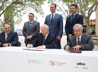
Published: 11:48, 23 Apr 2024
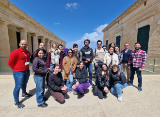
A science communication lecture with a difference
Published: 08:57, 26 Apr 2024
On Thursday 25 April 2024
Date: 22 April - 3 May 2024
Time:
Date: Monday 29 April 2024
Time: 17:30
Date: Friday 17 May 2024
Time: 12:30
Living each day to the best of my abilities by never taking anything for granted.
Once you break the 'wall of confidence' you will find that motivation and willingness to keep challenging yourself to reach new heights.
Not being afraid in life is one of the most important aspects of living a really good life... focus on what you're doing and ignore the rest... enjoy what you're doing.